
3D laser scanning and scan-to-BIM
3D laser scanning and scan-to-BIM
Measure what is actually built, then design and prefabricate against it. We plan the scan, process the point cloud and model the as-built conditions.
The problem we solve
Drawings describe intent. On refurbishment, extension and fit-out work, and even on new builds with tight services zones, the as-built condition is what decides whether a prefabricated duct or pipe spool fits. Hand measurements miss out-of-plumb walls and slab deflection, and errors show up when the spool arrives on site.
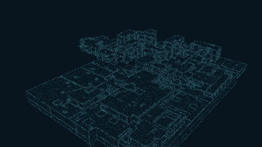
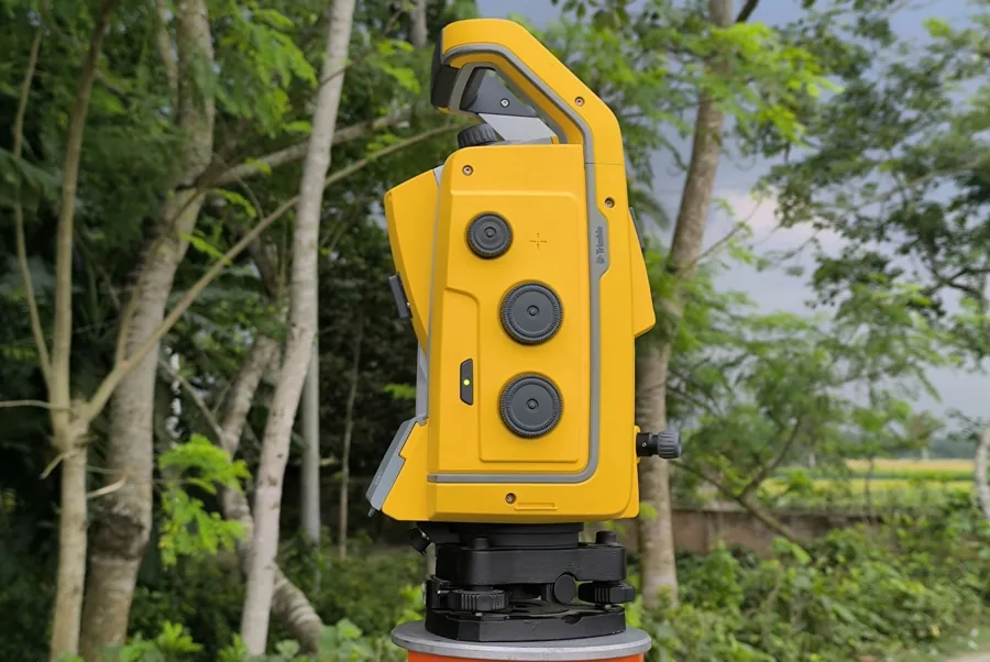
A point cloud captures the real geometry in one visit. Its value depends on a scan plan, a stated accuracy and a model built for a defined purpose, not on the number of points.
Capability overview
- Scan planning: purpose, areas, accuracy target and registration approach agreed before anyone goes on site
- Point cloud processing and registration, with exports in open formats such as E57
- Scan-to-BIM modelling in Revit at the LOD the purpose needs
- Deviation checks of the model against the cloud for critical elements
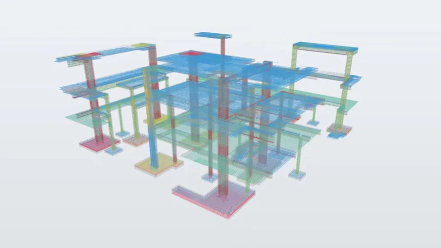
- Clash checks of the as-built model against the design model before MEP prefabrication
- Documentation of the scan method, control and stated accuracy
How we work
Define the purpose
What decisions will the scan support? That sets coverage, accuracy and the modelling LOD.
Plan the scan
Scan positions, control points, access, working hours and the format of the deliverable.
Process and register
Clean, register and check the cloud, then agree the coordinate system with the design team.
Model and verify
Model only what the purpose requires, compare against the cloud and mark any deviation outside tolerance.
Use it
Run coordination against the design model so changes happen on screen, not on site.
Articles on this topic
All articlesWhen laser scanning pays: scan before MEP prefabrication
When a laser scan is worth its cost before prefabricating MEP, how to specify purpose and accuracy, and how to turn a point cloud into a usable model.
Read the articleClash detection that gets fixed: a coordination workflow
A BIM coordination workflow for Saudi projects: set the rules, test the models, group clashes by cause, assign owners and close issues with evidence.
Read the articleQA vs QC on site: how the ITP and its hold, witness and review points fit together
Quality assurance and quality control are separate stages. How ISO 9000 defines each, what belongs to QA before work starts, and how QC runs through the ITP's hold, witness and review points.
Read the articleFrequently asked questions
Is laser scanning a service you have already delivered?
This page is a capability overview. We do not list project references here, and we do not present examples as delivered work. Email us to discuss how we would approach your site.
How accurate is a scan?
It depends on the instrument, the scan plan and the registration. The USIBD Level of Accuracy specification gives a way to state the required accuracy in the brief. We agree the target before scanning, not after.
Do I need scan-to-BIM or is the point cloud enough?
If the team only needs to measure and check, the cloud may be enough. If you need to coordinate, quantify or draw, a model is usually more practical.
What file formats do you work with?
E57 is an open, vendor-neutral point cloud format and the safest exchange choice. We can discuss other formats when you tell us which software your survey provider uses.
Related services
Talk to us about this service
Tell us about the site, what you want to prefabricate or retrofit, and when access is possible.